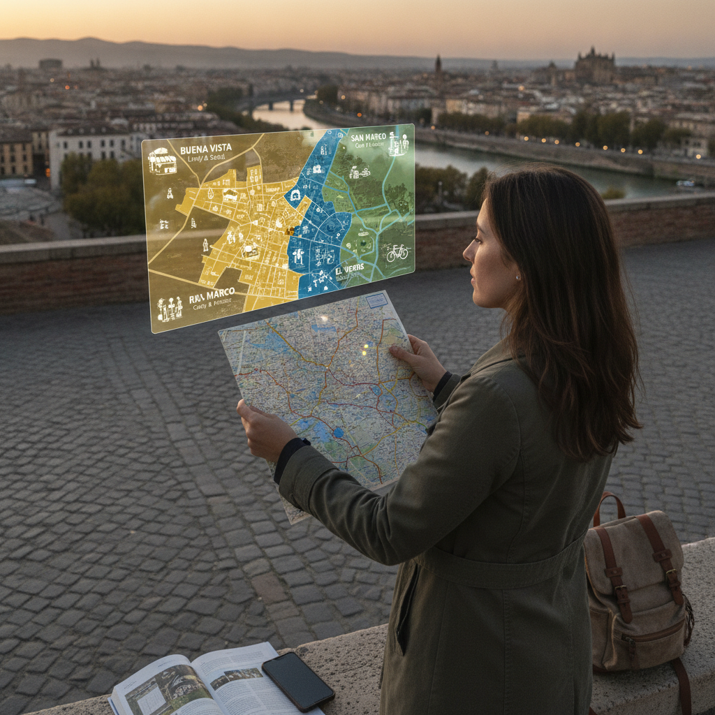
Experienced travelers have long known that a city is never just one place — it's a collection of distinct worlds layered beside one another, each with its own rhythm, character, and cost structure. Choosing accommodations without understanding those layers is one of the most common and correctable mistakes in trip planning. The neighborhood a traveler lands in shapes nearly every experience that follows: what they eat, how far they walk, what they spend, and what mood the trip carries from morning to night. Pre-arrival neighborhood research has quietly become one of the highest-return investments a traveler can make before leaving home.
Understanding Why Neighborhood Fit Matters More Than Star Ratings
Hotel star ratings and review scores measure what happens inside a property. They say almost nothing about what happens the moment a guest steps outside. A highly rated four-star hotel in a commercially sterile district can produce a duller, more expensive trip than a modest guesthouse in a neighborhood dense with local life. Cities like Lisbon, Mexico City, and Istanbul all contain entire quadrants that feel like different countries — and the traveler who lands in the wrong one may never discover what the city actually offers. Neighborhood fit is the invisible variable that determines whether a trip feels alive or merely checked off.
The Personality Dimensions That Define a Neighborhood
Neighborhoods carry identifiable personalities built from a few core dimensions: demographic mix, commercial character, noise and nightlife levels, walkability, and proximity to transit. A neighborhood like Kreuzberg in Berlin signals creative energy, immigrant food culture, and late-night activity — a very different promise than the quieter, museum-adjacent Mitte. Travelers can assess these dimensions by reading city-specific travel forums, consulting neighborhood guides on platforms like Lonely Planet or Atlas Obscura, and scanning short-term rental listings for host descriptions, which often candidly describe the surrounding area's pace and character. These signals, read together, produce a reliable personality sketch.
How to Build a Neighborhood Map Before Booking Anything
Building a pre-arrival neighborhood map requires only a few hours of structured research. The process starts with identifying the city's major districts on Google Maps and then layering in research: which areas are central to the traveler's interests, which are well-connected by transit, and which carry a reputation that matches the intended travel style. Travel subreddits for specific cities — r/Barcelona, r/Bangkok, r/Prague — consistently yield candid, current neighborhood assessments from recent visitors. Cross-referencing those impressions with neighborhood tags on Airbnb or Booking.com listings adds a practical accommodation lens. The result is a rough map of where to concentrate and where to avoid entirely.
Identifying What to Skip Without Guilt or Over-Research
Part of neighborhood pre-mapping is giving clear permission to skip certain areas — not out of ignorance, but out of informed prioritization. Most cities have zones that cater primarily to mass tourism: overpriced restaurants, generic souvenir corridors, and attractions built around volume rather than experience. Rome's immediate surroundings near the Trevi Fountain, for example, represent this well. Identifying those zones in advance doesn't mean avoiding famous sites entirely — it means refusing to anchor accommodations or daily routines within them. Travelers who map these high-density, low-value corridors before arriving spend less, eat better, and move through the city with noticeably more ease.
Using Neighborhood Research to Calibrate Daily Costs
Neighborhood selection has a direct and often underappreciated effect on daily spending. Accommodation costs vary widely across districts in the same city, and so do food, transport, and entertainment prices. A traveler staying in a residential neighborhood rather than a tourist-facing one will almost always find cheaper coffee, more affordable restaurants, and smaller crowds — simply because local businesses set prices for local customers. In cities like Tokyo, where neighborhood character shifts dramatically between Shibuya, Shimokitazawa, and Yanaka, this difference in daily cost can be substantial across a week-long stay. Neighborhood research thus functions as a quiet but meaningful budget tool.
Translating Your Neighborhood Map Into Practical Decisions
Once your pre-arrival map is built, use it as a decision filter at every booking stage. When comparing accommodation options, check which neighborhood each property sits in before evaluating the listing itself — location context should come first. Flag two or three neighborhoods as primary zones worth repeated visits, and note one or two areas to pass through briefly but not linger in. If you're traveling with others, use the map as a shared reference point to align expectations early. Apps like Google Maps' saved lists and Wanderlog allow you to pin neighborhoods with color-coded notes, turning your research into a living reference document you can consult throughout the trip. The map isn't meant to eliminate spontaneity — it's meant to give spontaneity a better backdrop.
Understanding a city's neighborhood personality before arrival transforms the foundational decisions of trip planning — where to sleep, how to move, and where to focus limited time — from guesses into informed choices. The traveler who arrives with a mental map of a city's districts is better positioned to spend wisely, eat authentically, and experience the city on its own terms rather than on the tourism industry's. Neighborhood research is ultimately an act of respect for both the destination and the trip itself.